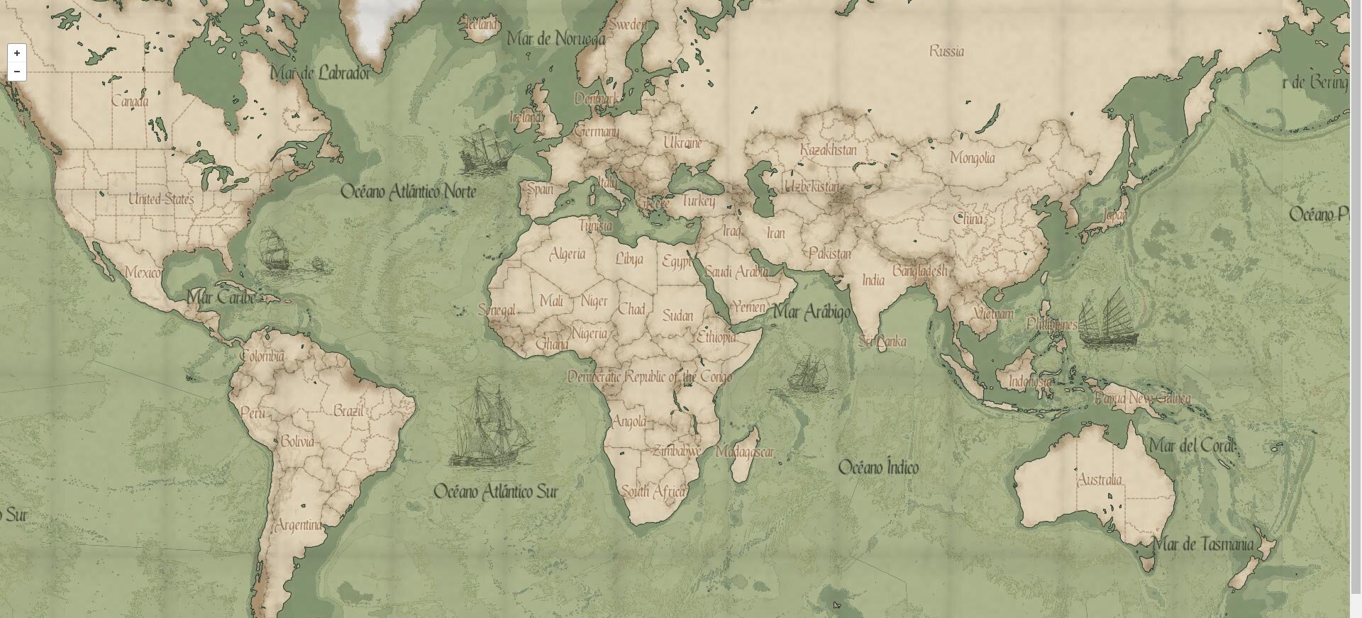
Mapbox GL Studio 16th century inspired map
While developing my photo website, I could not find a map style that I liked to feature the images with location data.
That drove me into getting my hands dirty trying to figure out how to come up with the one I wanted.
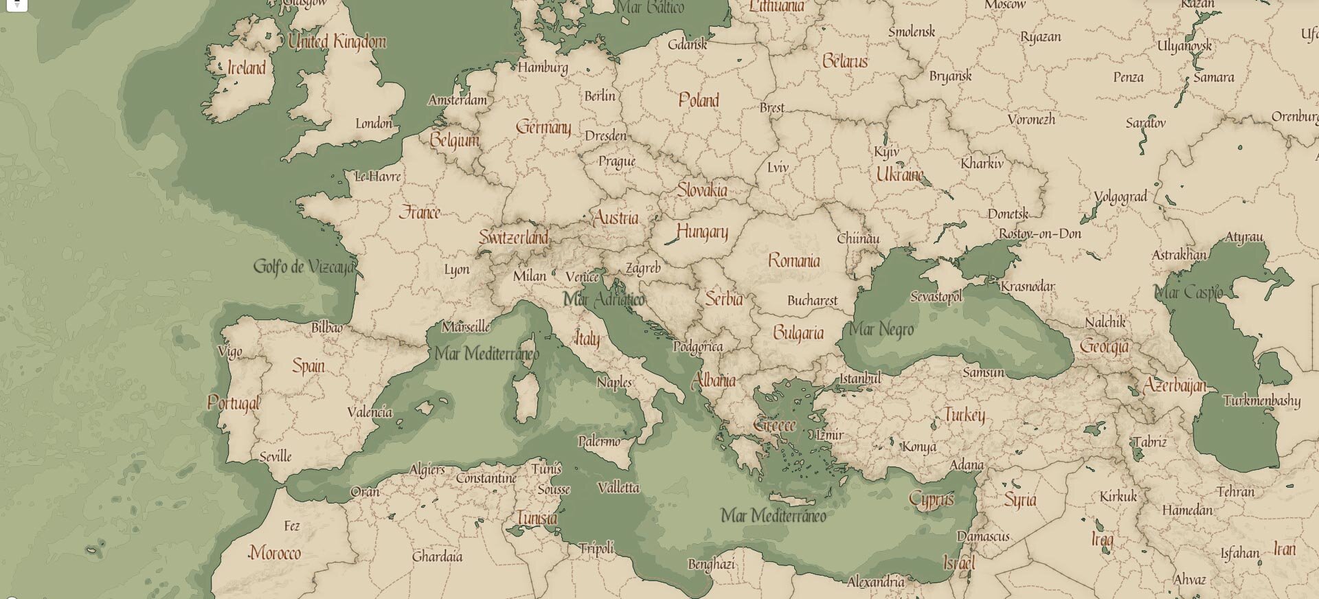
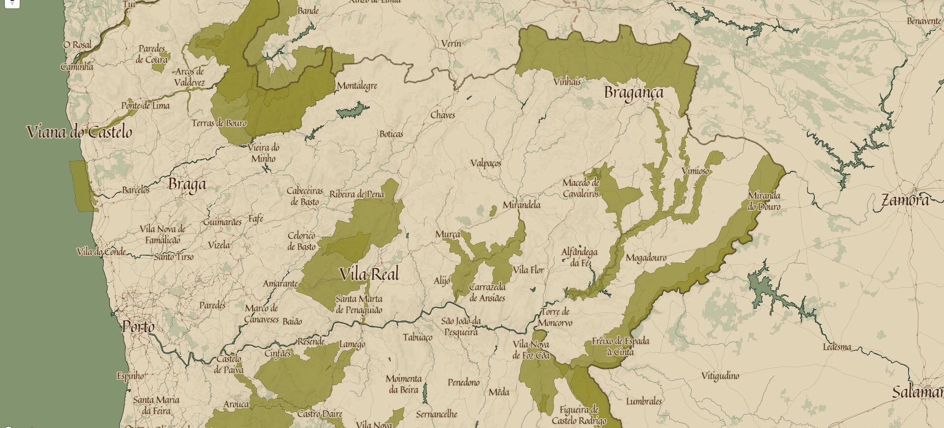
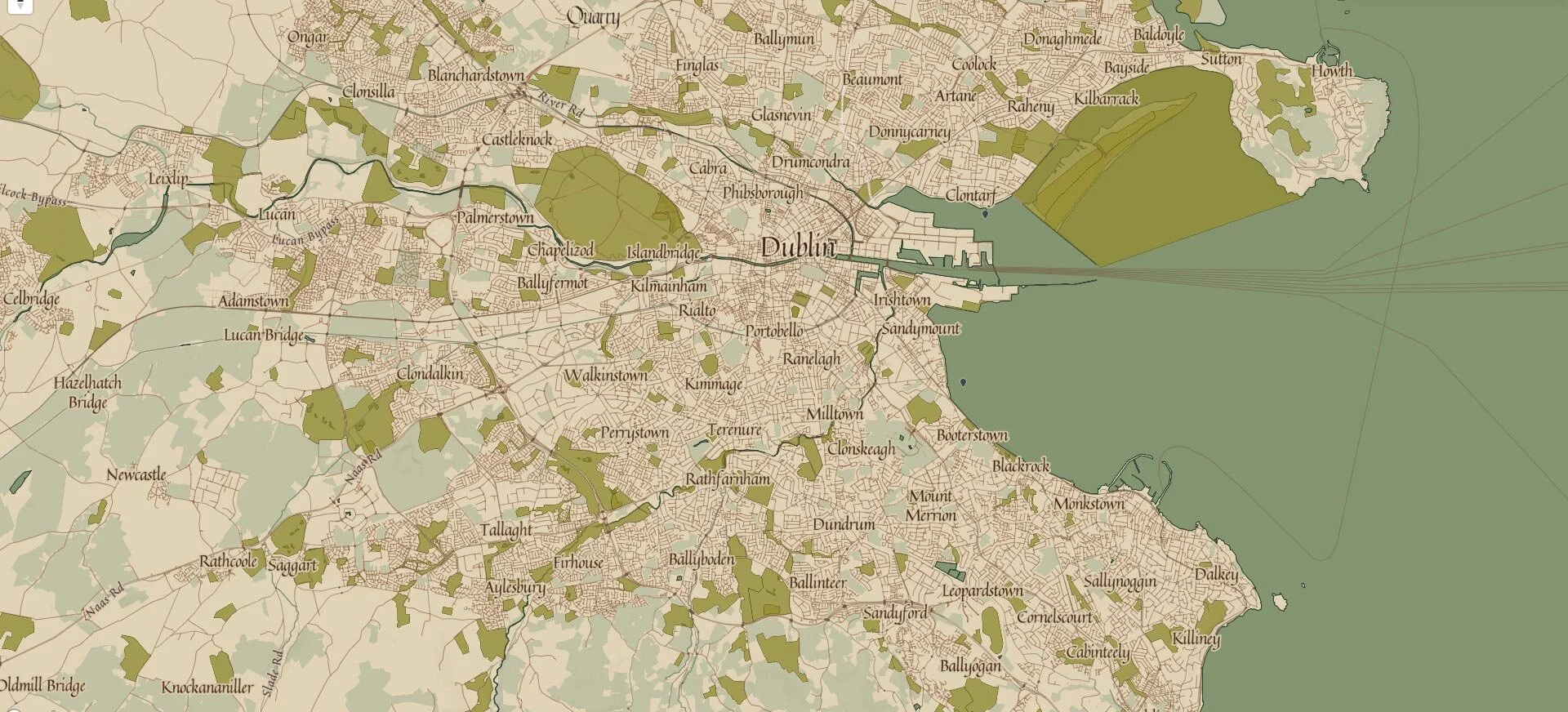
Using a Mapbox studio style sheet with different opacity/widths/colors for each map element at different zoom levels, together with freely available tilesets (9 levels tiles of bathymetry, ice shelves, terrain, street, satellite, countries) I got the style i was looking for.
The style is public, for using and forking, for your web, ios/androids apps, arcGIS, Tableu, etc
You can see it on my website photos.ezequielm.com, with some additions as image overlays of different types of galleons around the maps oceans, and leaflet js marker clustering